UDF Tech Services
Location-Based Intelligence for Smarter Decisions
UDF Tech Services transforms complex geographical data into powerful insights and custom solutions that help you visualise your world and act with confidence.
See Our Services


What We Do
Think beyond the map.
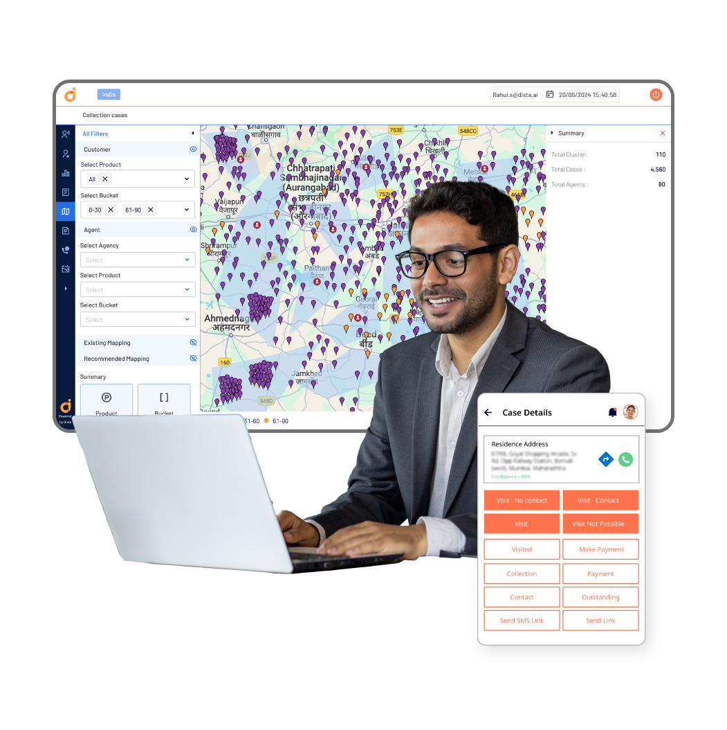
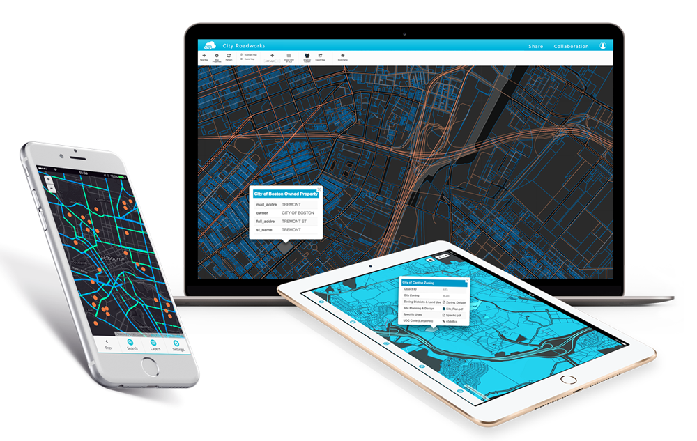
Maps are more than just a way to find your way from point A to point B. They're powerful tools for solving real-world challenges. Imagine a smarter, customised Google Maps version built for your business, your industry, and your goals.
Our Services
How We Can Help – Our Three Pillars
We offer a full spectrum of GIS (Geographic Information Systems) services, organised into three core areas:
Custom Software & App Development
We design and build the “smart map” applications you need—from mobile apps for your field teams to advanced web platforms for your office. Whether you’re tracking assets, analysing locations, or monitoring changes in real time, we can create tools tailored to you.
GIS Consultancy & Strategic Planning
Our team brings years of geospatial expertise to help you ask the right questions and find the right solutions. From setting up your first GIS system to optimising complex workflows, we’ll ensure you have a clear strategy backed by actionable insights.
Advanced geospatial technologies
We push the boundaries of GIS. Using cutting-edge tools like 3D mapping, LiDAR scanning, and GeoAI (Geospatial Artificial Intelligence), we turn complex data into high-impact visualisations and predictive models.
Industries We Serve
Proudly Serving These Industries
Our solutions adapt to your sector’s unique needs.

Urban planning

Transport & Logistics

Telecommunications

Environmental monitoring

Agriculture & Forestry

Government
About Us
Turning Location Data into Smarter Decisions
UDF Tech Services believes location intelligence can transform industries. From the first conversation to the final deliverable, our mission is simple: help you use geographical data to see more clearly, act more decisively, and achieve your goals faster.

