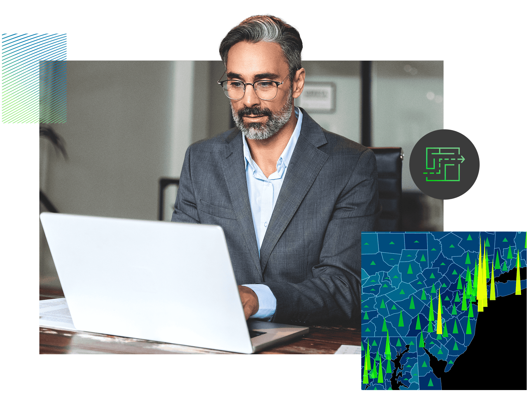
GIS technology is powerful—but only when used with a clear plan. At UDF Tech Services, our consultancy team works with you to identify the right questions, choose the right tools, and build the right strategy for your organization.
From your first GIS project to complex enterprise deployments, we help you maximize the value of your location data.
GIS Strategy and Consultation
We help organisations plan their GIS investments strategically—choosing the right tools, workflows, and data to meet long-term goals. Our consulting focuses on maximising ROI and aligning technology with your business objectives.
Where it can be used:
Local governments are modernising public service delivery, corporations are building internal GIS capabilities, or nonprofits are planning location-based outreach programs.
Spatial Data Acquisition and Management
We source, process, and manage spatial datasets from multiple sources—including satellite imagery, LiDAR scans, and field surveys—ensuring accuracy and consistency across your projects.
Where it can be used:
Forestry agencies tracking land use, telecom companies mapping coverage areas, or disaster management agencies building hazard maps.
Geospatial data analysis
Our experts use statistical, spatial, and temporal analysis techniques to transform raw location data into actionable insights. This helps you understand patterns, relationships, and changes over time.
Where it can be used:
Market analysts identifying underserved regions, environmental consultants assessing impact zones, or public health agencies mapping disease spread.
GIS Training and Support
We provide tailored training programs and on-demand technical support to help your teams get the most out of GIS technologies. This includes hands-on workshops, user manuals, and troubleshooting assistance.
Where it can be used:
Organisations onboarding new GIS staff, municipalities rolling out GIS to multiple departments, or companies upgrading to advanced geospatial tools.
Site Analysis and Location Intelligence
We combine spatial analysis with business data to evaluate locations for suitability, performance potential, and risk. This enables better decisions about site selection, expansion, and investment.
Where it can be used:
Retailers choosing store locations, renewable energy firms evaluating wind or solar farm sites, or real estate investors assessing property potential.
Remote Sensing Services
We process and interpret imagery from satellites, drones, and aircraft to gather valuable environmental and structural information without physical site visits.
Where it can be used:
Agricultural monitoring, coastal erosion tracking, or infrastructure inspection in hard-to-reach areas.
Field Data Collection Solutions
We develop mobile-based tools and workflows that enable teams to gather accurate, geotagged data directly from the field—streamlined for both online and offline use.
Where it can be used:
Environmental surveys, utility pole inspections, or humanitarian organisations mapping disaster-affected areas.
Cloud-based GIS
We deploy GIS systems in the cloud for easy access, collaboration, and scalability. This eliminates heavy on-premises infrastructure while ensuring fast, secure performance.
Where it can be used:
National GIS platforms, cross-agency collaboration projects, or multinational corporations managing spatial data from multiple regions.
Real-time GIS
We integrate live data feeds—like GPS tracking, IoT sensors, or weather data—into GIS platforms so you can monitor and respond instantly to changes.
Where it can be used:
Fleet management, real-time disaster response, or utility outage monitoring.
Why Work With Us for GIS Consultancy?
We combine cutting-edge tools to deliver powerful, forward-looking solutions.
Holistic Approach
We look at the bigger picture, not just the technology.
Industry Versatility
From urban planning to agriculture, we understand your sector.
Proven Results
Solutions that have saved clients time, money, and resources.