Some challenges can’t be solved with basic mapping tools. That’s where UDF Tech Services steps in.
We combine 3D mapping, LiDAR scanning, BIM modelling, AI, and GeoAI to deliver a level of insight and precision that traditional GIS can’t match. These technologies help you see not just where things are—but how they interact, change, and evolve over time.
GeoAI (Geospatial Artificial Intelligence)
GeoAI combines advanced AI algorithms with geospatial data to identify patterns, detect changes, and make intelligent predictions from location-based information. This technology can process massive datasets—such as satellite imagery or real-time sensor feeds—far faster than traditional methods, uncovering insights that would otherwise remain hidden.
Where it can be used:
Automating land use classification, detecting illegal deforestation, predicting traffic congestion, or identifying optimal locations for new facilities.
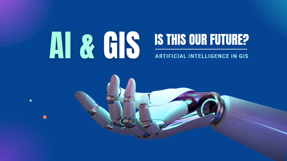
AI (Artificial Intelligence) in GIS
We integrate AI models directly into GIS workflows to enhance analysis, automate repetitive tasks, and support predictive decision-making. By training AI with both spatial and non-spatial data, we enable smarter tools that adapt to evolving business and environmental conditions.
Where it can be used:
Urban planning with automated zoning analysis, infrastructure health monitoring, or agricultural yield forecasting.
BIM (Building Information Modelling)
BIM is a digital representation of a building’s physical and functional characteristics. When integrated with GIS, it provides powerful context—connecting detailed building models with their geographic surroundings for better planning, construction, and operations.
Where it can be used:
Large-scale infrastructure projects, smart city development, and facility management for airports, hospitals, or campuses.
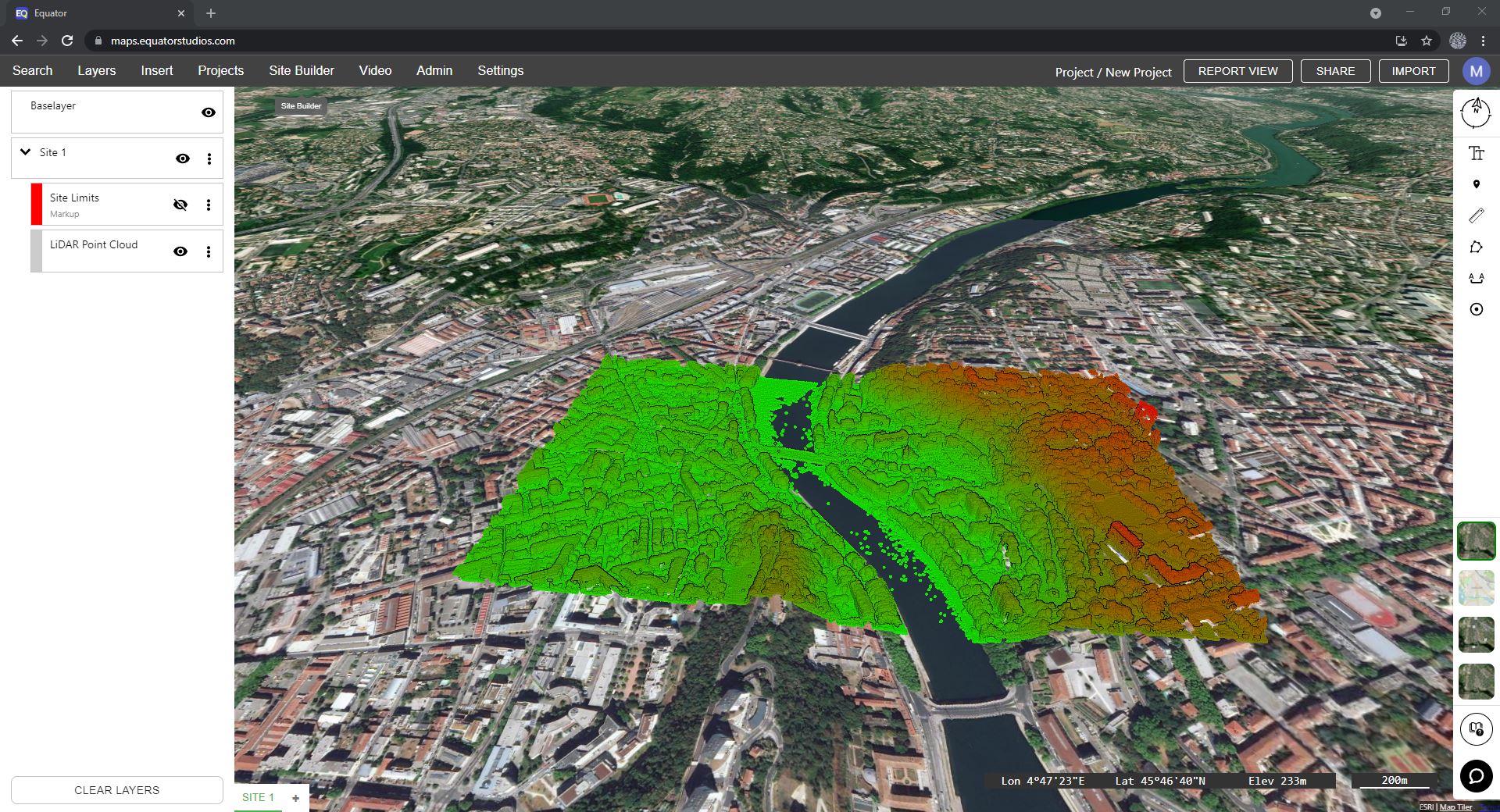
LiDAR Classification and Mapping
LiDAR (Light Detection and Ranging) technology captures high-resolution 3D data about the Earth’s surface and built environments. We process LiDAR data to classify terrain, vegetation, and structures—providing accurate inputs for engineering, environmental monitoring, and modelling.
Where it can be used:
Floodplain mapping, power line inspection, forest canopy analysis, or 3D city modelling.
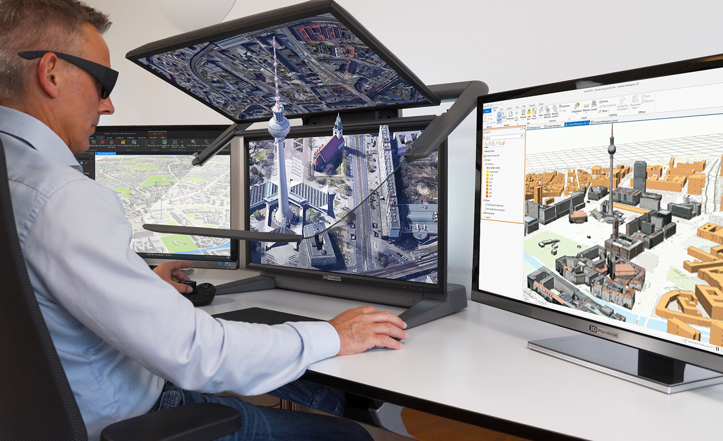
3D GIS (Three-Dimensional GIS)
3D GIS takes spatial analysis into the third dimension, offering immersive visualisation and simulation capabilities. This enables stakeholders to view and interact with terrain, buildings, and infrastructure as they exist in real life—or as they could exist in the future.
Where it can be used:
Urban redevelopment planning, visual impact assessment for wind farms, or underground utility mapping.
When These Technologies Work Together
The real power comes when we integrate multiple advanced tools into one solution:
Smart city infrastructure
Combine 3D GIS, BIM, LiDAR, and GeoAI to create dynamic digital twins of entire cities—enabling better planning, maintenance, and public services.
Disaster Response & Environmental Monitoring
Use LiDAR for precise topography, AI for predictive risk analysis, and GeoAI for spatial pattern recognition to prepare for and respond to natural disasters.
Autonomous vehicles.
Integrate LiDAR for real-time spatial sensing, 3D GIS for environment modeling, and AI for navigation and decision-making.
Building Lifecycle Management
BIM for design and construction, AI for predictive maintenance, and GIS for understanding environmental impact and context.
Urban Planning & Land Use Forecasting
Merge GeoAI, LiDAR, and BIM to model future infrastructure needs, environmental changes, and land use patterns.
Why Our Advanced Technology Services Stand Out
This enables stakeholders to view and interact with terrain, buildings, and infrastructure as they exist in real life—or as they could exist in the future.
Integrated Solutions
We don’t just offer tools; we combine them for maximum impact.
Future-Focused
Solutions designed to adapt as technology evolves.
High precision
Leveraging the most accurate data collection and analysis methods available.
Industry Proven
Applied successfully in sectors from smart cities to agriculture.