Custom Software & App Development for Smart Mapping
Every organisation’s needs are different, and your GIS tools should reflect that. UDF Tech Services designs and builds custom Geographic Information System (GIS) software and applications that fit your workflow, data, and goals.
Whether you’re managing city infrastructure, tracking logistics in real time, or analyzing environmental changes, we deliver tools that make your job easier and your decisions sharper.
Custom GIS Software Development
We build fully customised Geographic Information System (GIS) applications designed to meet your unique business needs. From interactive mapping tools to specialised geospatial and data analysis platforms, our solutions are engineered for high performance, security, and usability. We ensure seamless integration with your workflows and data sources, so your system works exactly as you want it to.
Where it can be used:
City governments are developing public-facing map portals, environmental agencies track conservation efforts, or logistics companies are building route optimisation platforms.
GIS INTEGRATION
Our team connects your GIS tools with other enterprise systems—ERP, CRM, asset management, and more—so location-based insights can flow seamlessly through your organisation. This eliminates data silos and ensures decision-makers always have the full picture.
Where it can be used:
Utilities integrating network maps with customer databases, retail chains linking GIS with sales analytics, or emergency services combining mapping data with dispatch systems.
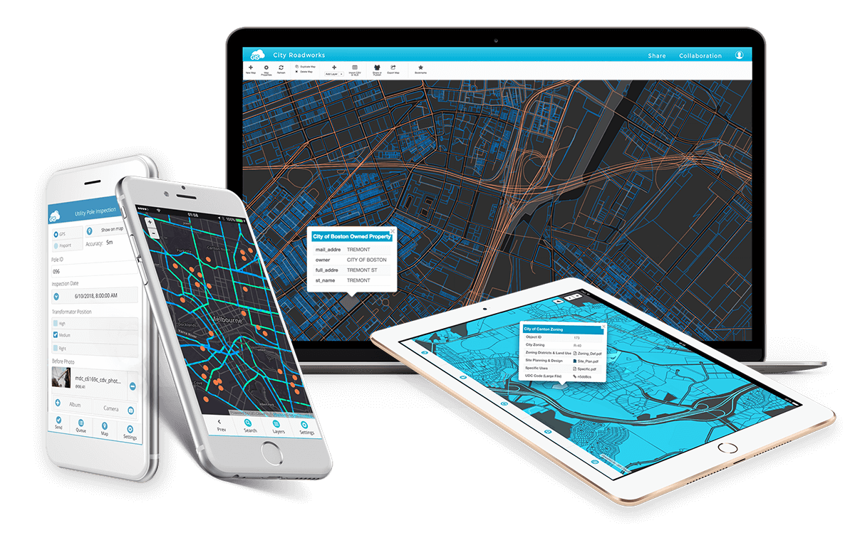
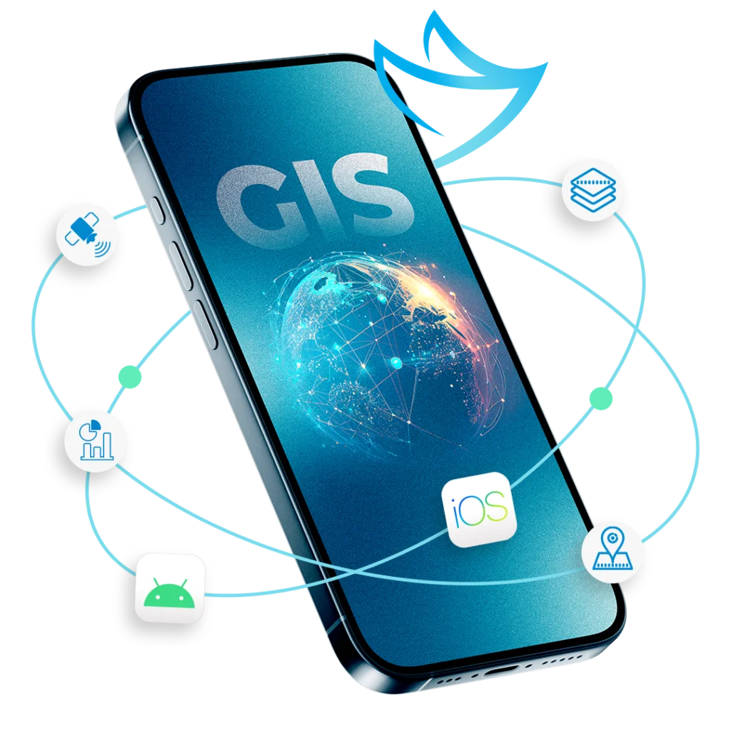
Web and mobile GIS development
We create GIS platforms accessible anywhere—whether on the web for office users or on mobile devices for field teams. These applications are optimised for performance and usability, ensuring fast data access and updates no matter the device.
Where it can be used:
Construction firms monitoring site progress in real time, field survey teams collecting environmental data, or agricultural operations managing crop health via mobile mapping.
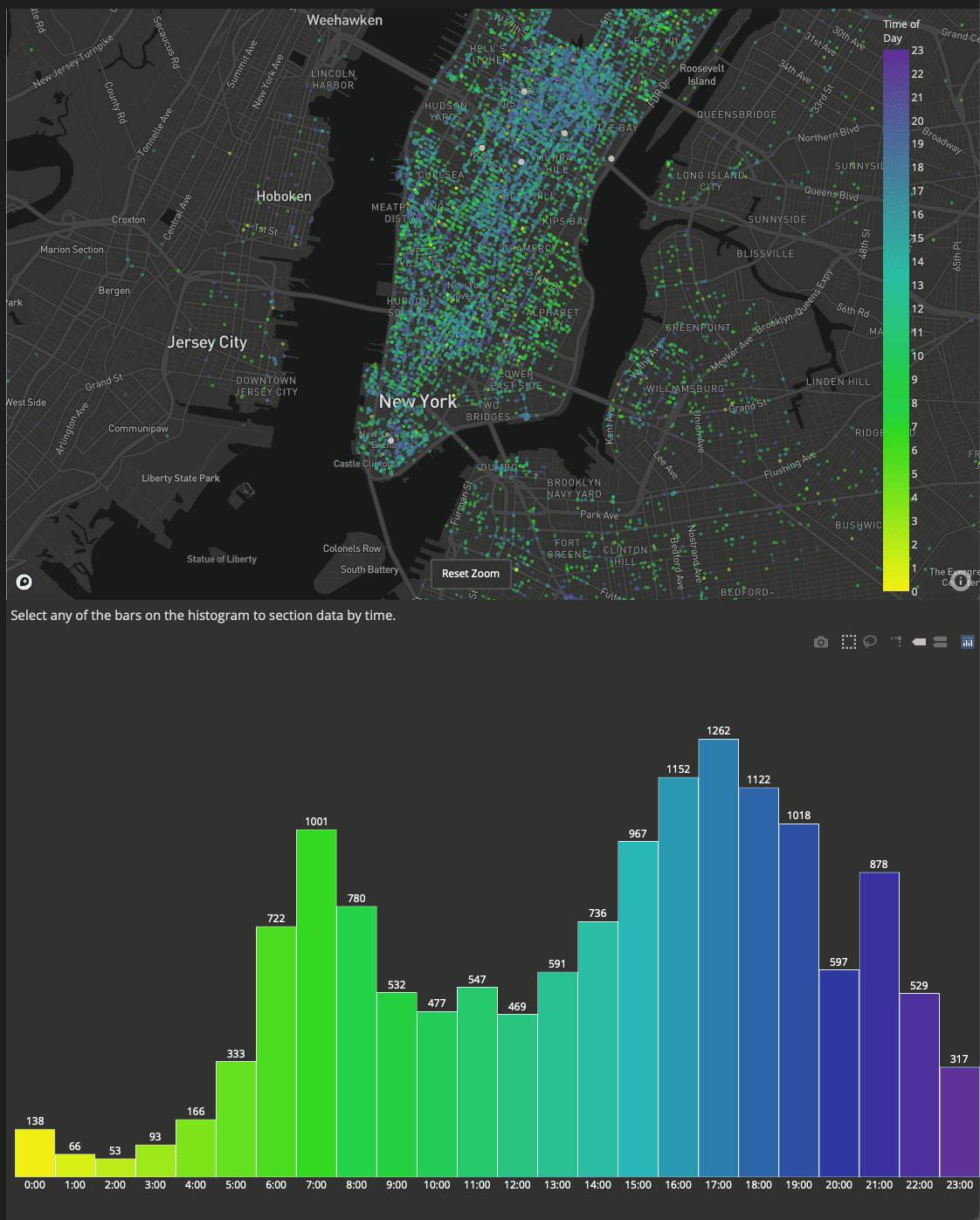
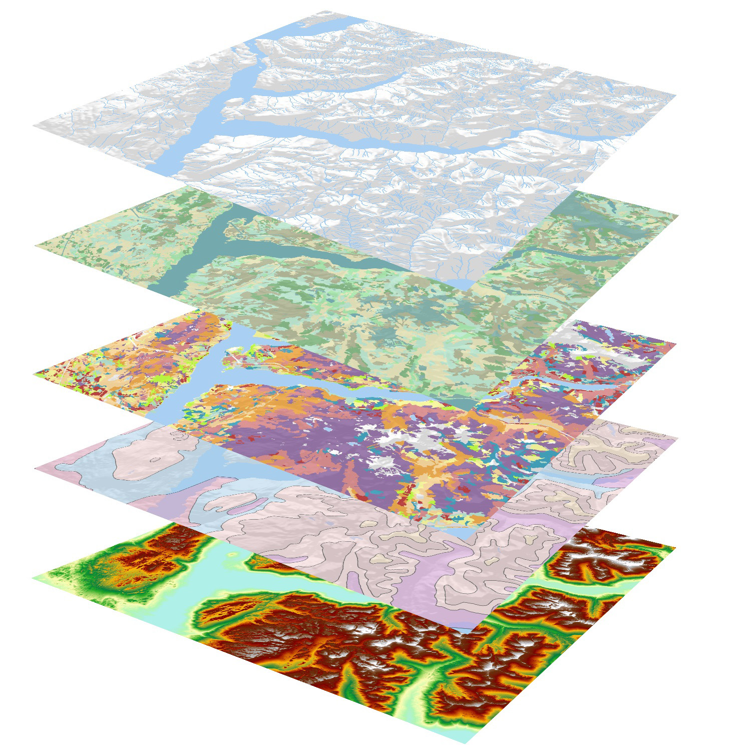
Geospatial data visualisation
We turn raw geospatial data into intuitive, interactive visualisations that reveal patterns, trends, and opportunities. Our tools make it easy to explore complex datasets through maps, charts, and 3D models.
Where it can be used:
Urban planners presenting development proposals, researchers studying environmental changes, or businesses evaluating market expansion opportunities.
Geospatial Database Development
We design and implement secure, scalable databases optimised for storing and managing spatial data. Our solutions ensure fast queries, reliable backups, and smooth integration with GIS tools and APIs.
Where it can be used:
National mapping agencies managing countrywide spatial datasets, utility companies tracking infrastructure assets, or logistics firms storing route and delivery data.
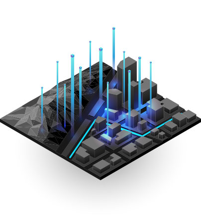
Geospatial Analysis and Modelling
We apply advanced spatial analytics and modelling techniques to answer complex questions and forecast future trends. From predictive modelling to spatial pattern detection, our analyses drive better decision-making.
Where it can be used:
Transport departments forecast traffic growth, environmental scientists predict habitat changes, or real estate developers assess land suitability.
Why Choose Our Development Services?
We combine cutting-edge tools to deliver powerful, forward-looking solutions.
Tailored to Your Needs
Built specifically for your workflow and challenges.
End-to-End Delivery
From concept and design to deployment and support.
Cutting-Edge Technology
Leveraging the latest GIS frameworks and development best practices.